
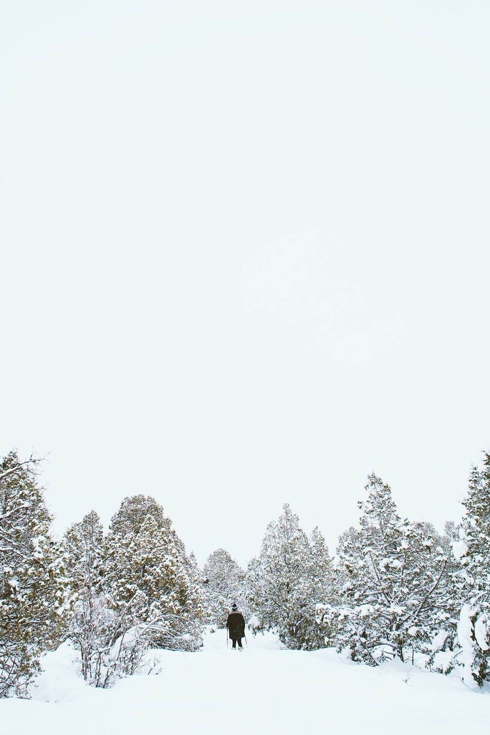
Stand-in photo, not this place: A hiker on a snowy trail in Summit County, Utah; not this loop.
Glenwild Loop
Trail loop
About
Glenwild Loop is a Basin Recreation recommended route of 8.3 miles with 1,060 feet of climbing, rated intermediate. It starts at the Spring Creek Trailhead, climbs Stealth Trail for 1.3 miles, joins the Glenwild trail for about 4.3 miles of flowing singletrack, then returns along Stealth Trail.
Basin says it is most popular for mountain biking but can be done on foot.
When to go
Basin Recreation lists the Glenwild Trail System as accessible all year, with hours from dawn to dusk.
In winter, Basin says most singletrack in the Basin is not groomed or maintained but stays open unless noted, so expect snow, ice or mud. Check the Basin winter map and the Park City Trails Map for conditions.
Good to know
Spring Creek Trailhead has parking, restrooms, and a pavilion with shade, picnic tables and a water fountain.
Dogs are listed as on-leash. E-bikes are not allowed on this route, and there is no overnight parking, camping, fires or hunting.
The full Glenwild system has about 36 miles of trails and a Bob's Basin area for downhill bikes only, which hikers should avoid.
Price
No admission fee is listed on the official page. Check it before you go.
Run Glenwild Loop? Offer a coupon here for free.
See how it works and an example page. Already have an account? Log in